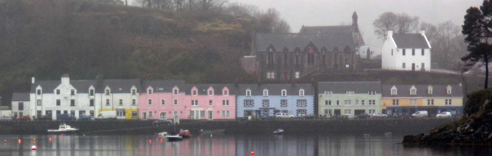
The row of colorful houses/businesses on the waterfront were a natural subject of photography.
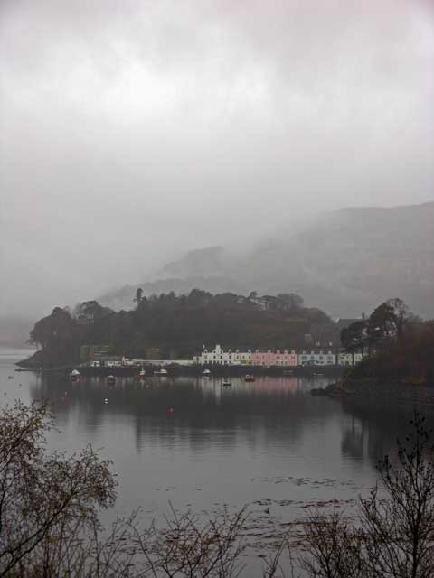
We got up before the dining room opened for breakfast, so I took a walk down to the waterfront and walked towards town at the waters' edge to see if I could get some snaps across the calm and slightly foggy waters of Loch Portree. The banner photo at the top of this page is the result of that effort. I also followed a short trail up stream to a small waterfall, vigorous and tinged brown with all the recent rain.
The row of colorful houses/businesses on the waterfront were a natural subject of photography.
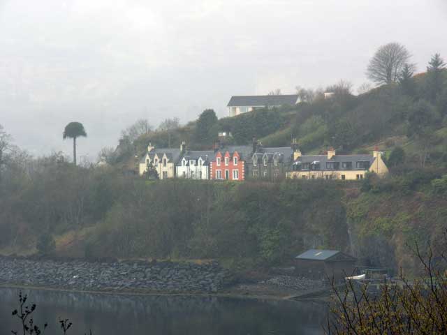
Another row of colorful houses higher up the hill.
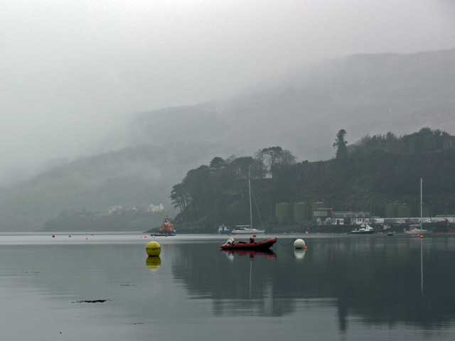
The boats in the harbor.
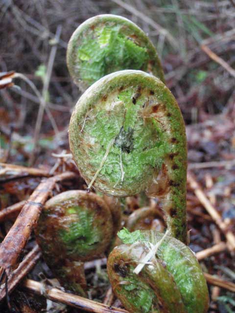
Some fiddlehead ferns emerging from winter slumber.
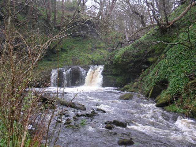
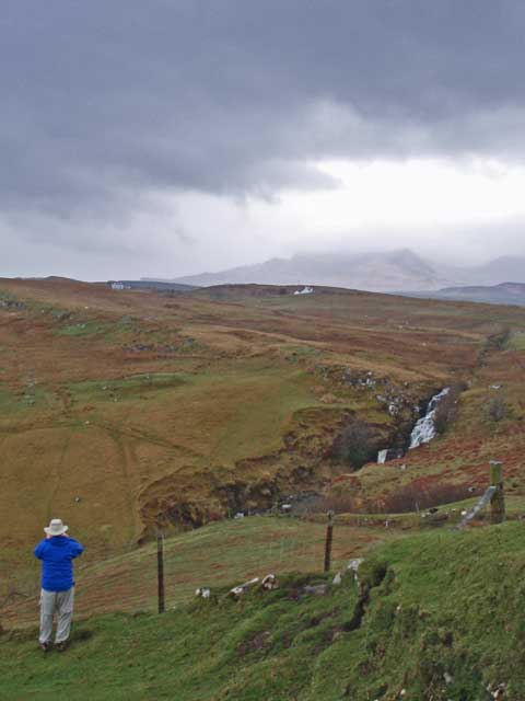
The robust stream and falls between the hotel and village.
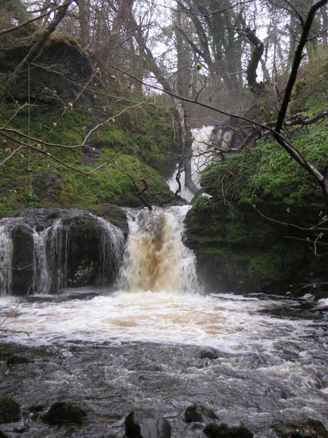
A more extensive view of the falls.
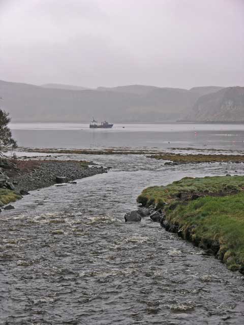
Downstream of the bridge, the creek flowed into Loch Portree.
After breakfast we decamped from the hotel – our luggage going south, while we explored the north tip of the island. Our first stop was the Skye Museum of Island Life, which was a bit around the northern extreme going west. The museum was a collections of about six to eight thatched stone huts that recreated the living environment of the inhabitants up to the early 1900s. There was a large panel dedicated to the exploits of Lady Flora McDonald of the “Skye Boat Song”. There I acquired some gifts for the three daughters and another refrigerator magnet (or two).
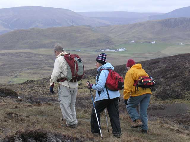
Backtracking to the north, the vans stopped at the car park at the trailhead where a solitary red phone booth stood sentinel. Shouldering our packs we tramped off to the north point of the island the sign pointing to Rubha Hunish (Rubha hùinis; headland of the bear cub) the northernmost point of Skye.
The first part of the trail was dry and easy walking, but just beyond a rise the moor reasserted its presence and the trail got wet, soggy, and sloppy. We frequently walked off to the side to find dryer, or perhaps more accurately, less wet footing.
I was reflecting on a conversation that I had with Pól the previous day. I had asked that given the amount of rain, was there a temperate rain forest on these islands prior to the arrival of man. He responded yes, that the land would have been covered with oaks and an understory of holly, but the introduction of grazing sheep and cattle had resulted in the landscapes we had been walking through. My impressions of the land are similar to what we observed in the Lakes District in Chile where there is an “overabundance” of water.
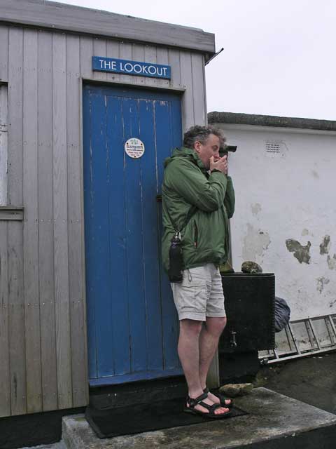
So we wove our way around the thread of the trail to the lookout at the north tip of Skye. The hut there (a modern one) is used for whale and dolphin watching in the sea between the Inner and Outer Hebrides. Pól pulled out a harmonica and played a soulful tune (The Cuillen – a traditional tune) for us as we soaked in the vista high above the waters below.
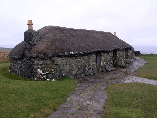
One of the crofters' huts at the Skye Museum.
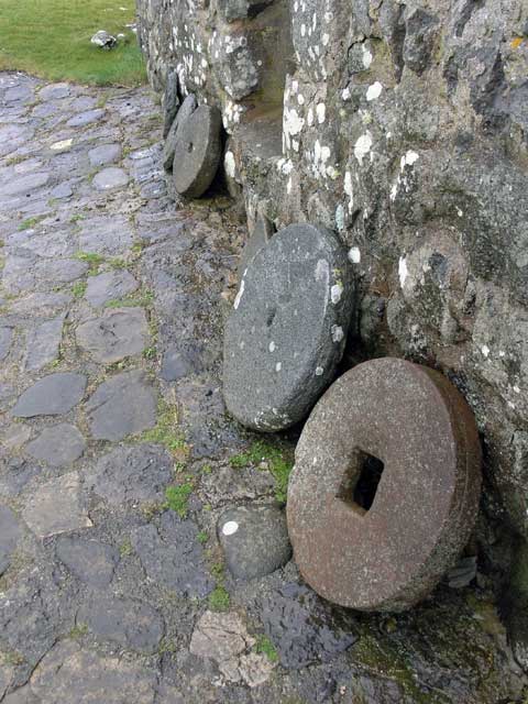
A number of mill stones.
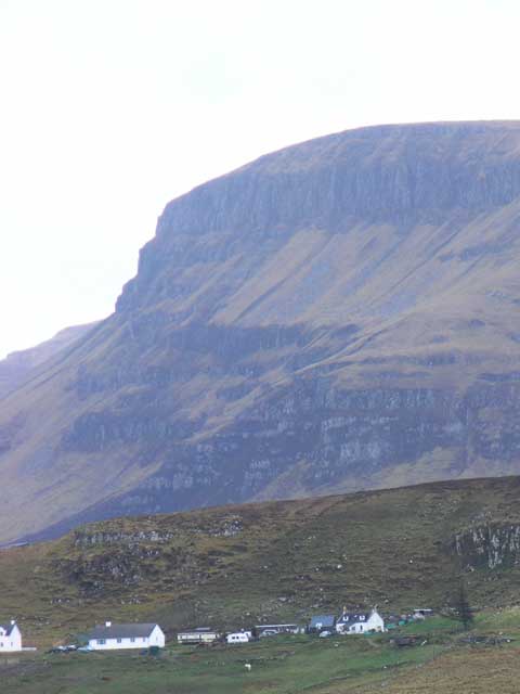
The crisp white houses provide scale to the sweeping landscape.
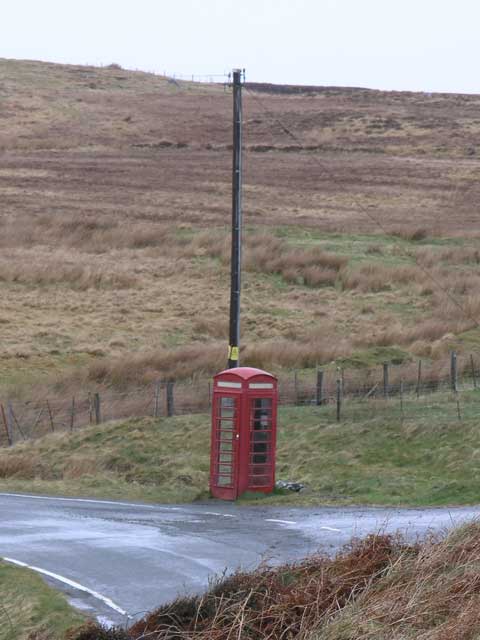
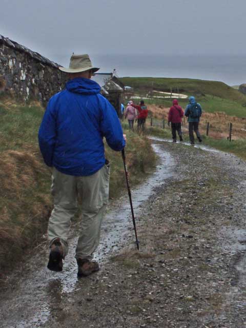
This classic red phone booth is a landmark to finding the trailhead for this walk.
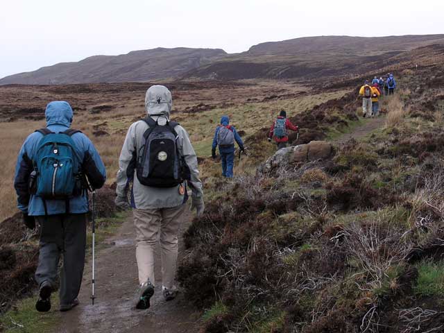
And down the trail we go.
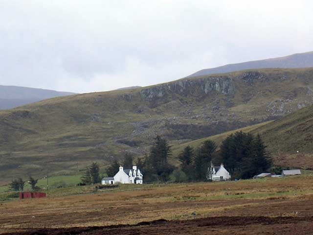
More scenic white houses in broad landscape.
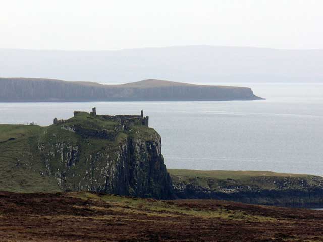
If I'm not mistaken, those are the ruins of Castle Duntulm on the promontory.
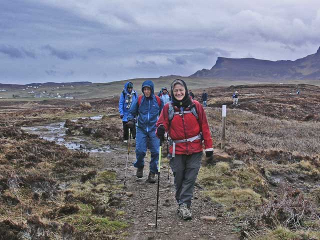
Cari and Bill coming down the trail.
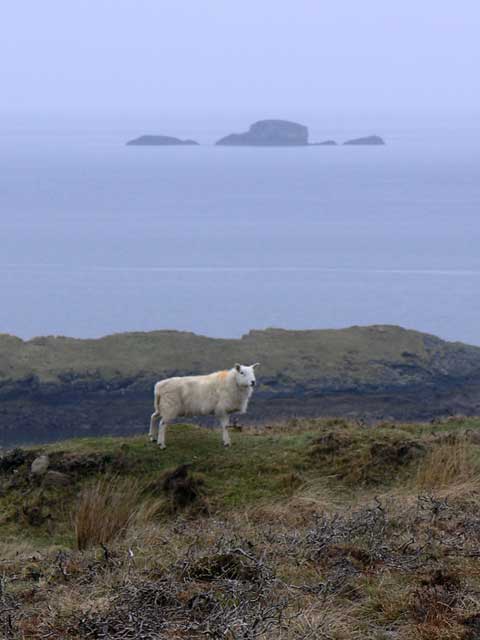
The sheep stand sentinel on the land, and the island at sea.
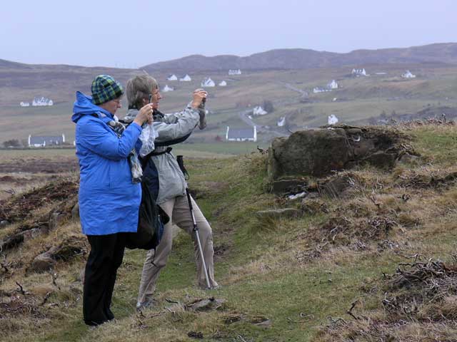
Donna and Manda taking some snaps.
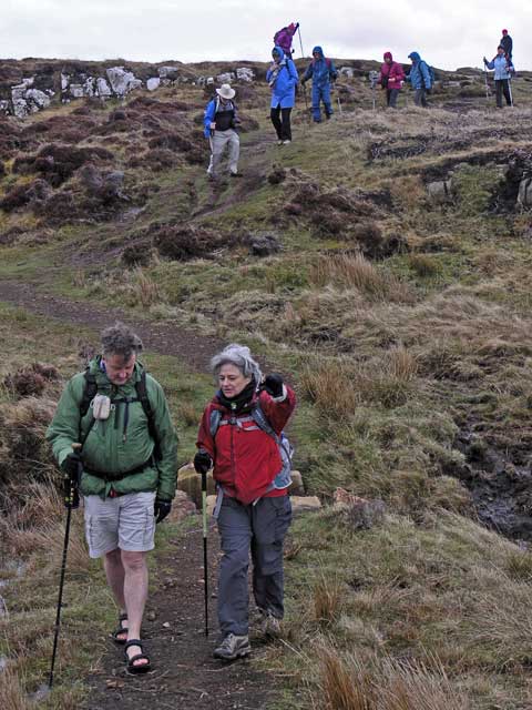
Pól and Cari leading the way down the soggy hill.
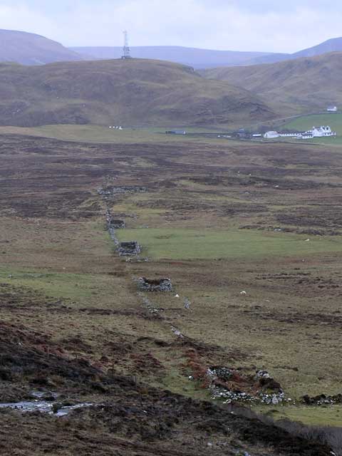
A row of crofter hut ruins leads to a modern farm in the distance.
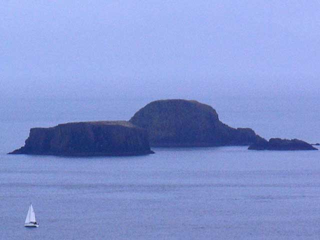
The trio of offshore islands again - witha sailboat for scale.
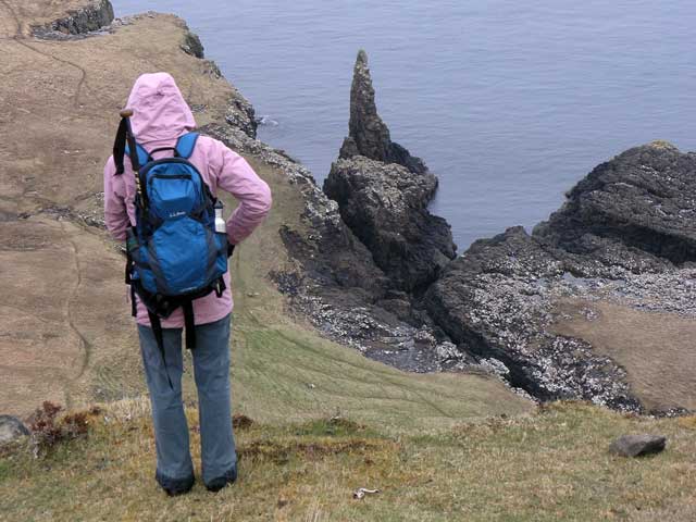
I think that's Wendy taking in the view of the sea stack/spire.
Pól performing on the harmonica.
Martha.
Ed, Harriet, and Mary heading back down the trail.
After retracing our steps back to the vans, we went to lunch at a café in Staffin, Columba 1400, where we inhaled a hearty tomato soup, salad, and a selection of sandwiches.
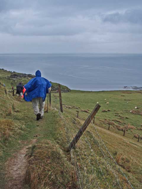
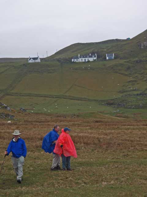
After lunch we had the option of going to the hotel or taking another walk of about three miles to the shore and back. About a half dozen folks opted for the hotel, while the remainder took the shore option. Stuart parked the van at the side of the road and we walked down the road to a lane that took us by a house and cemetery to the trailhead.
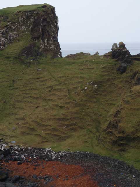
The grass covered trail started down immediately taking through sheep pastures along the fence line where our progress was monitored by the dubious inhabitants. The trail reached the rocky shore where despite the light rain visibility was quite good up and down the coast. North of us a couple miles was Kilt Rock where a large waterfall fell into the ocean. The basalt columns resembling the folds or pleats of a kilt giving the landmark its name.
We followed the shore southward crossing a vigorous stream and climbed along the grass fields where the mounds used in potato cultivation were still evident, and ultimately climbing a narrow, and to me, scary path to another pasture with excellent views.
The afternoon walk begins on the side road.
Jonathan taking a snap of the waterfalls in the distant field under threatening skies
Heading down the grassy trail to the sea.
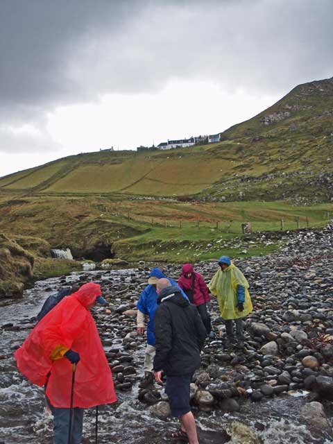
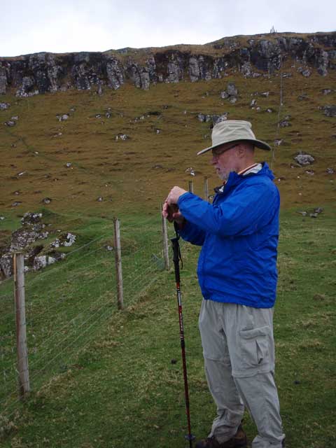
Stuart assisting our crossing of the stream.
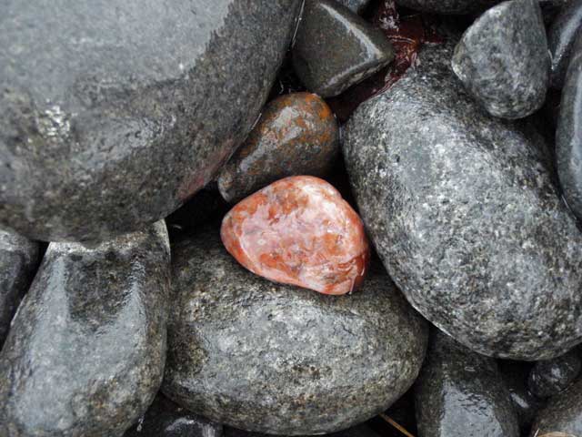
A shot reminiscent of one I took on the Olympic peninsula with an orange colored stone providing contrast.
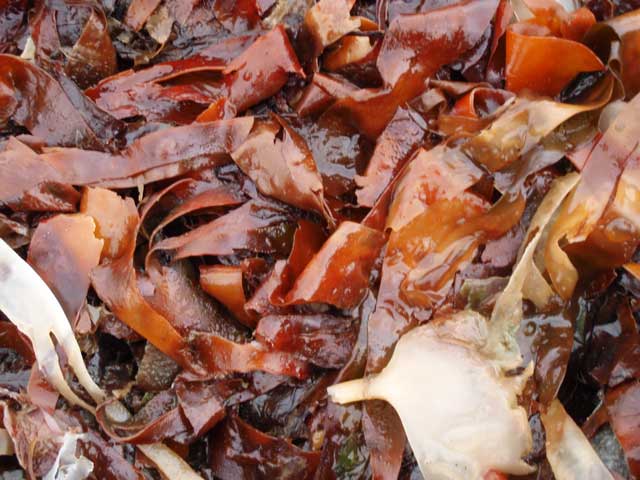
The red-orange kelp provides a notable contrast to all the green.
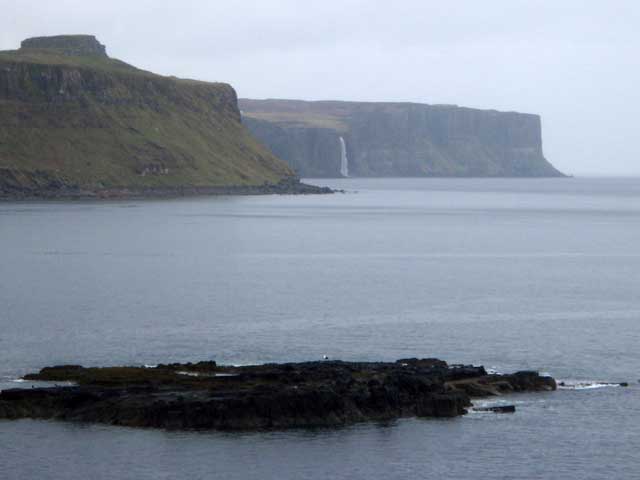
In the distance, Kilt Rock with the falls.
I included this shot to give a sense of how far down the hill we had come (and had to go back up).
The texture on the hillside is from sheep.
Jonathan pauses for a shot at the point that was the destination of the hike.
After returning to the van we made a mad dash south to Sleat, the southern region of the island where the Kinloch Lodge is located on an inlet. We changed immediately after getting settled in our room for a champagne reception prior the five-course meal in the Lodge’s Michelin-starred restaurant. Menu below.
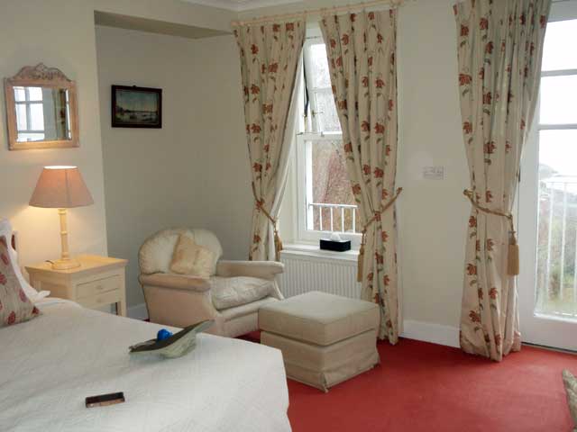
A shot of the interior of our room. I liked the understated elegance of the place and the attention to detail.
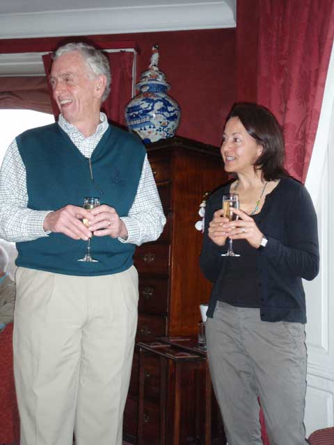
A champagne reception with canapes - Roger and Jamen.
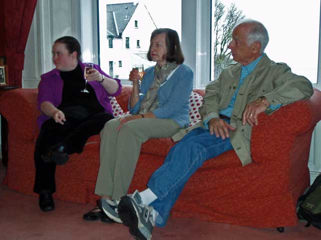
Linnea, Judyann, and Bill on the couch.
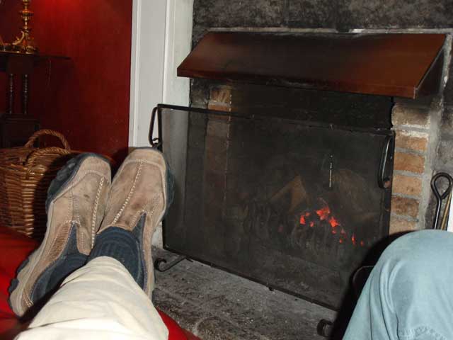
Jonathan (right) and I relaxing in front of the fireplace.
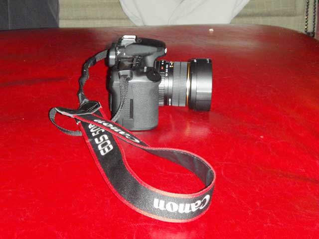
Jonathan's camera relaxing in front of the fireplace.
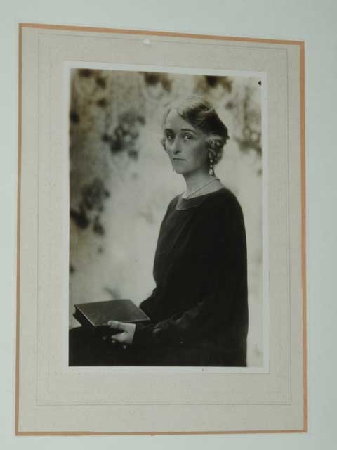
This photo was hung next to the painting (next shot) which seems to have been made from the photo.
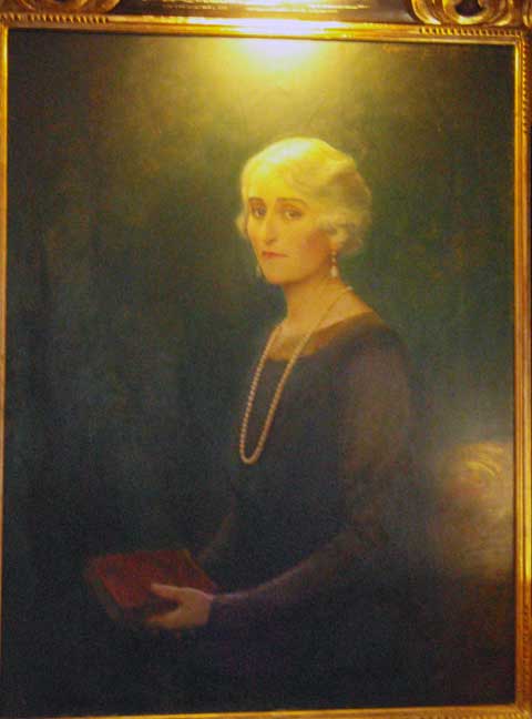
Subtle differences in the painting - looks more mature and serene vs. younger and more tentative/dubious.
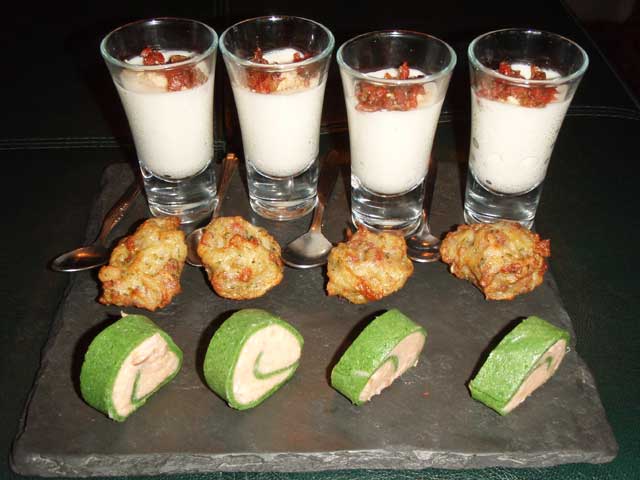
Evidence! Or in this case, canapes!
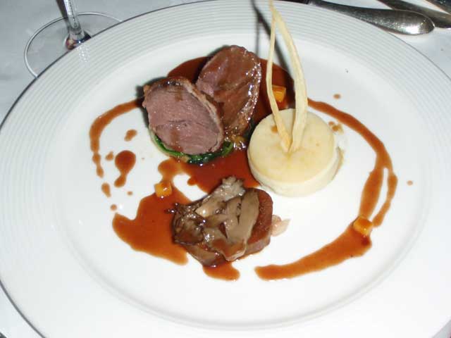
The venison dish that Jonathan enjoyed for dinner.
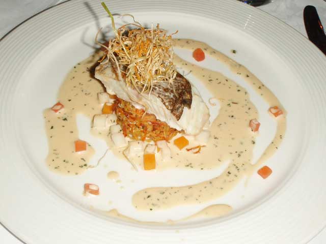
And the fillet of cod for me.