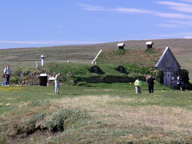
Arriving at the Sænautasel Farm. This and the following image show how wide open the land is here.
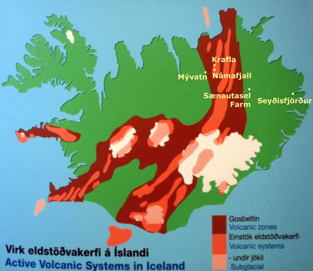
After breakfast, we left Seyðisfjörður and left the East Fjords toward Lake Mývatn. Although low clouds hung over the fjord, the weather cleared as we crested the pass between Seydisfjördur and Egilsstaðir. Passing through the river valley, the road ran north-northwest along a high ridge before turning west up over that ridge into the heath. Amid the heath we turned off the road and drove several miles on gravel roads to a farm, Sænautasel Farm, where a local woman named Lilja lived during the three summer months. With Kristín translating, Lilja explained the workings of the farm while we fanned away the midges that gave Lake Mývatn its name (mý = midge or gnat, vatn = lake). The bugs don’t bite, but they were a nuisance to me. Fortunately as we went into the sod-roofed buildings, the midges stayed outside – Lilja explaining that it was too cool inside for them. Inside, the description continued.
We got to sample a number of items – a liver paté, blood sausage, something Jonathan described as “head cheese”, and smoked lamb. With the exception of the smoked lamb, all items were stored/preserved in whey, and could be classified as “Lubin food”. I sampled the liver and the smoked lamb – I was wondering if the paté, which was sour due to storage in the whey, was going to make me throw up, but once swallowed, the feeling subsided. We then entered a second sod-roofed structure – previously a barn – which was set up with sweaters and other woolens for sale and a long table where we sat down for coffee and lumma (pancakes). There were also pots of hot chocolate that we sampled liberally – very different from the assorted lamb parts stored in whey (and stomach linings).
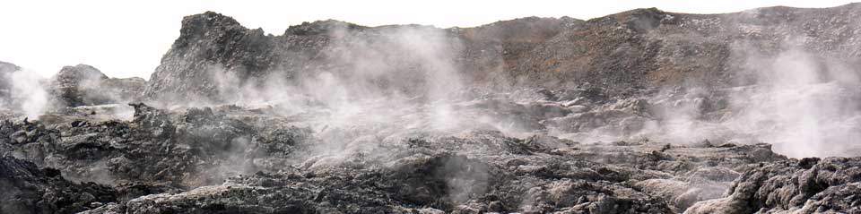
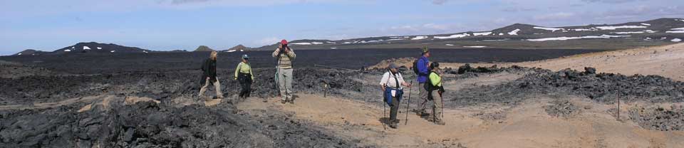
We drove towards our destination, stopping at a lava field that still had sufficient heat to create steam in numerous places. The midges were still in evidence as we walked into the lava field. We stopped deep in the field at the opening of a volcanic crater to have lunch, with a few midges. There is a geothermal plant in the valley, with pipes running from the drilled wells to the central facility with the turbines, sitting like a spider in the center of a shiny metal web.
From there we went across the highway to an area of fumaroles and mud pots called Námafjall. I decided that it might be easier to capture the action by collecting a few seconds of video of the bubbling pots rather than still photography. We’ll have to see how that comes out.
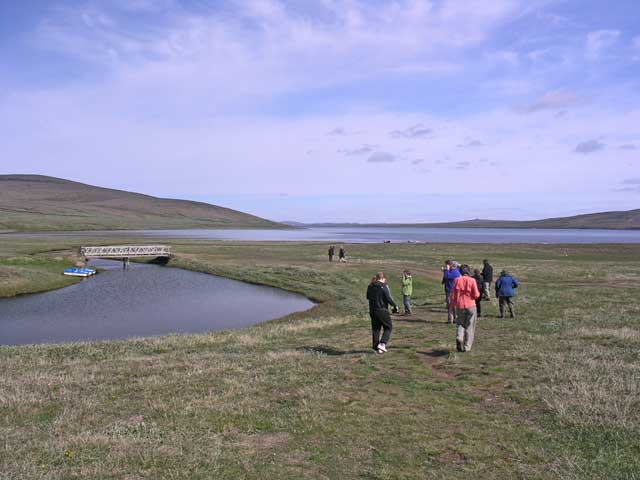
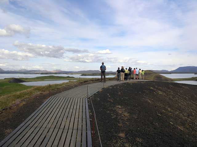
We drove down to the southern shore of Lake Myvatn to walk among some pseudo-craters – craters that were formed when water was trapped under hot lava and exploded creating these craters. Kristín used an apt metaphor of bubbling oatmeal in a pot. While the bus was parked there, at Hulda’s suggestions, we made a dash across the road to a convenience store to get insect netting for the walks the following day.
We are now checked into the hotel and dinner starts at 1900.
Arriving at the Sænautasel Farm. This and the following image show how wide open the land is here.
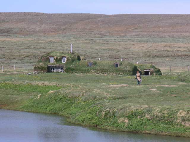
The sod-roofed farm buildings - you can see Lilja walking to the buildings in preparation for our visit.
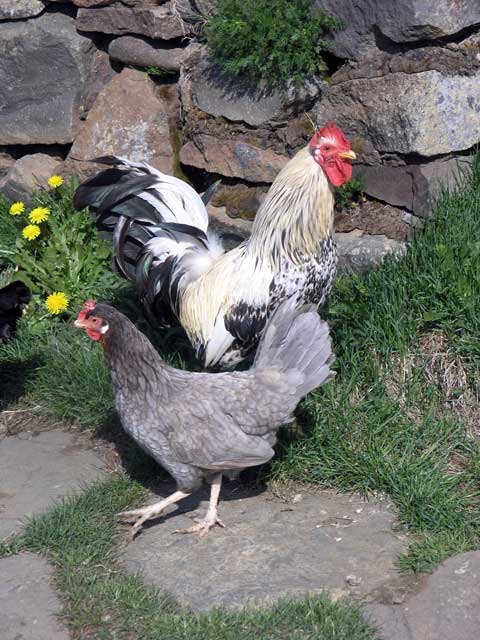
A couple of the chickens on the farm - the flock came dashing out to greet us, mistaking us as their feeders.
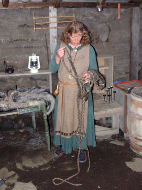
Lilja in the barn showing a woven horse hair rope.
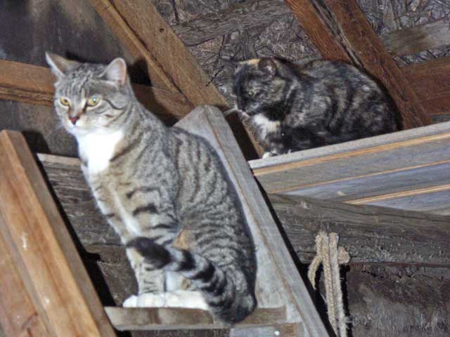
A slightly fuzzy picture of the the two barn cats.
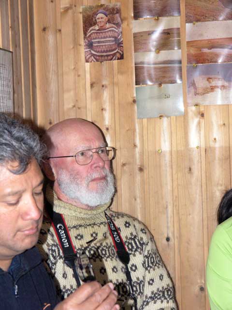
Jonathan in his Icelandic sweater, with the picture above him, of a man wearing an Icelandic sweater.
The inside of the sod roofs - the beams and the roots of the plants that hold the soil of the sod in place.
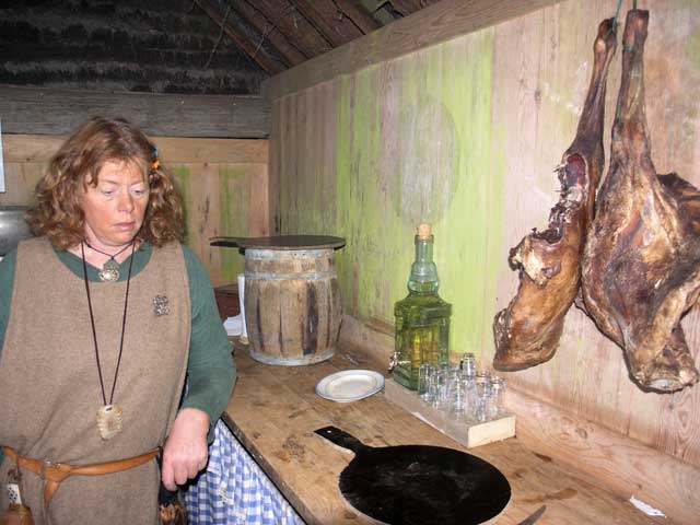
Smoked lamb hanging from the wall; barrel on the counter contained spent whey that preserved…
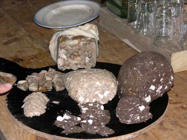
…head cheese on the top, the dark blood sausage to the right, and in the center the lighter liver pate.
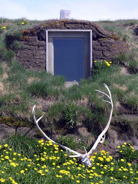
A reindeer skull amid the dandilions below the window.
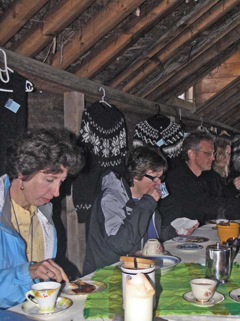
Inside a second turf roofed barn was a dining area where we were served lummar (pancakes) and hot chocolate.
An outside view of the second barn / dining room.
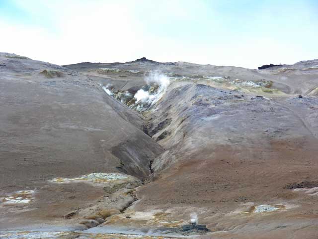
Amid the Krafla fissure system, a harsh landscape.
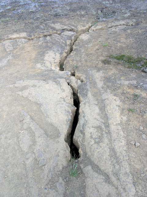
Being in the rift region, fissures like these are not unusual.
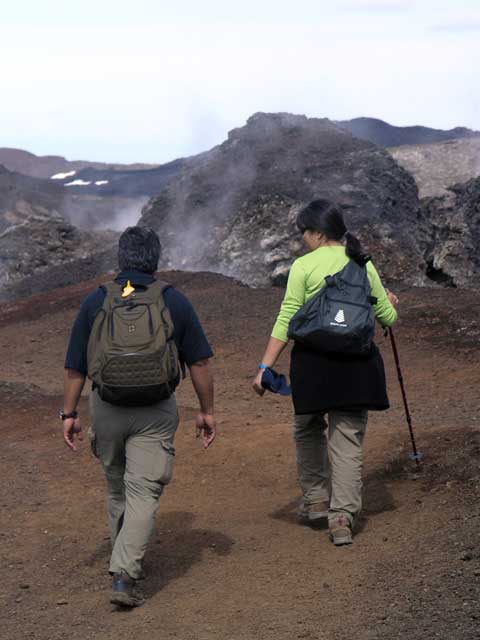
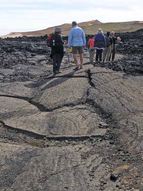
Walking off into the lava field.
Steam emanating from the hillside.
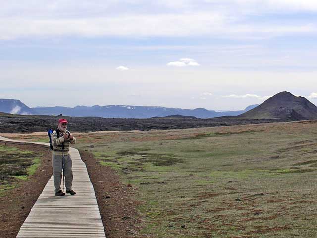
Jonathan pausing for a snap.
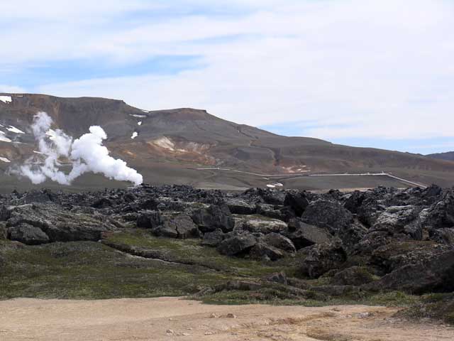
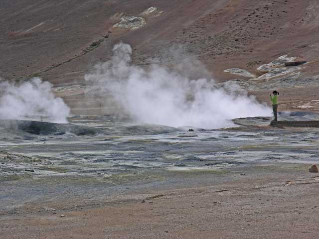
That steam plume in the background comes from a geothermal well - not from the lava field.
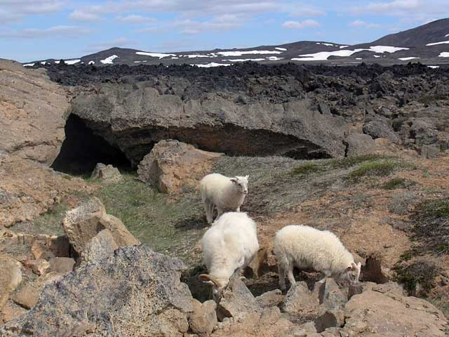
A ewe with her two offspring grazing amid the lava.
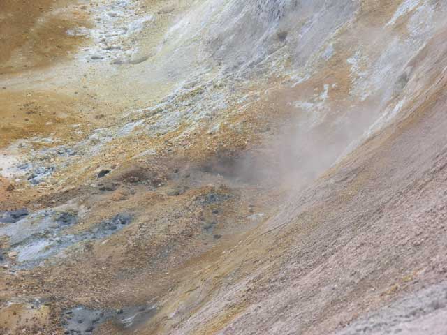
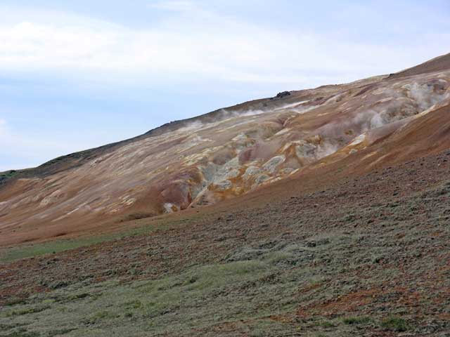
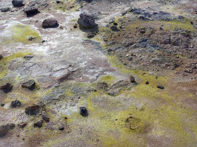
I took this shot for its colors and patterns - the area was once mined for sulfur.
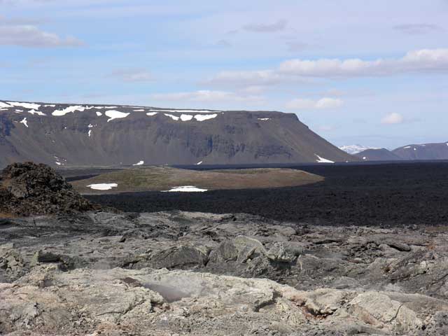
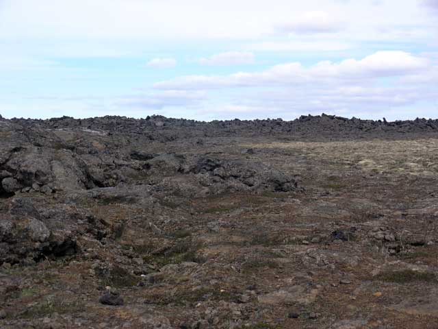
The black areas are the most recent (1970s - 1980s) lava flow.
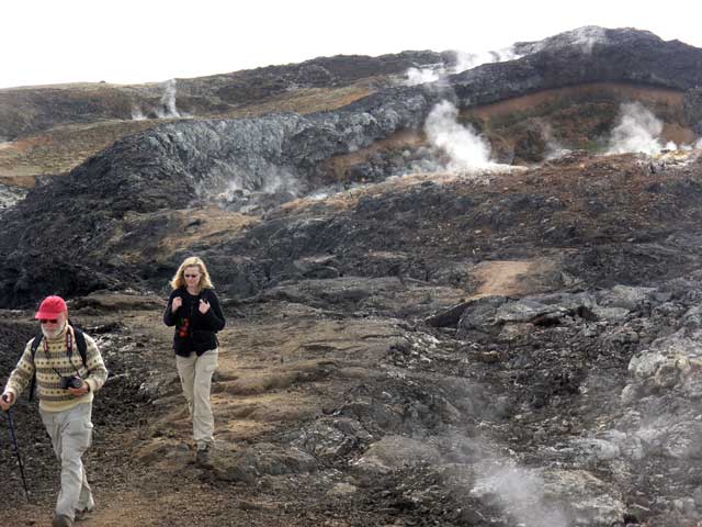
Paul and Shirley head down the steamy path.
Jonathan and Kristín walking through the vapors rising from the still-warm lava.
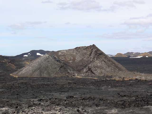
The Leirhnjúkur crater (formed ~1720) amid the lava field - our lunch was at the low point in the crater.
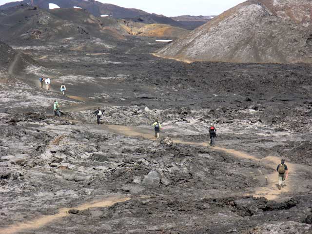
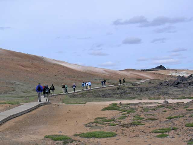
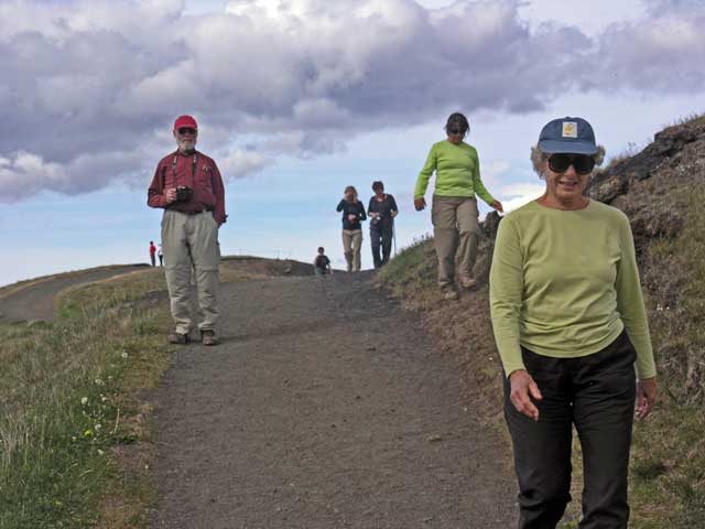
The trail winding through the plain.
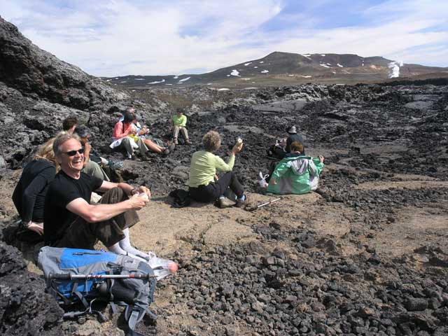
Erling shares a laugh with Ronnie (who was sitting somewhat behind me when I took this shot).
The lava has many different patterns - I think this is the top of a lava tube.
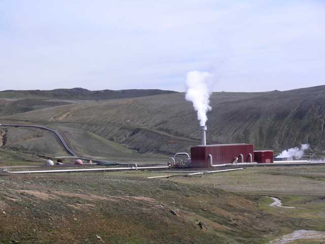
The central geothermal plant that collected and processed the steam / hot water from the various wells.
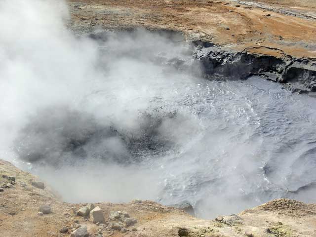
A mud pot at Námafjall Hverir - the video above starts with this one.
Shirley examining one of the thermal pools.
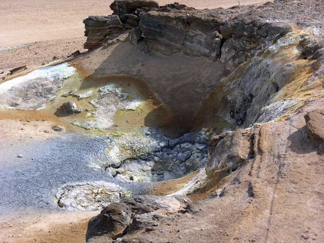
A dried up mud pot.
More steam from the hillside.
Another shot I took for color and texture.
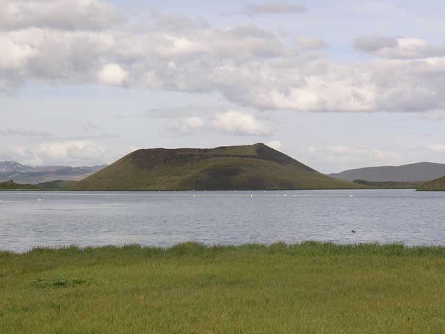
A pseudo-crater.
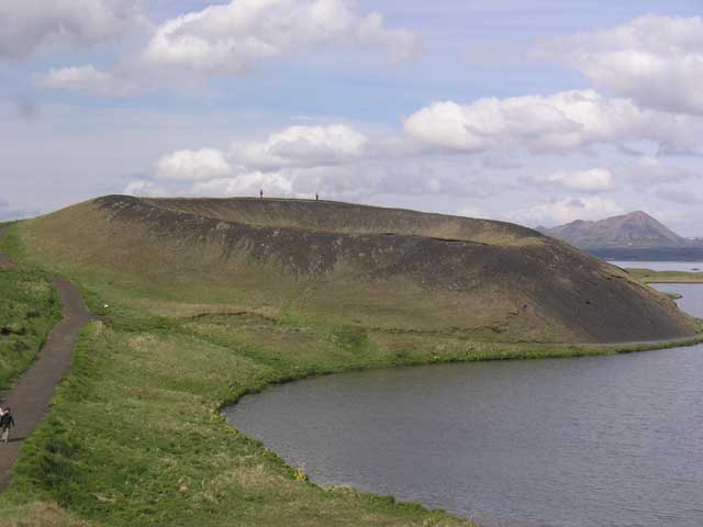
Another pseudo-crater, with a couple of folks on the rim.
Now it's us on the rim.
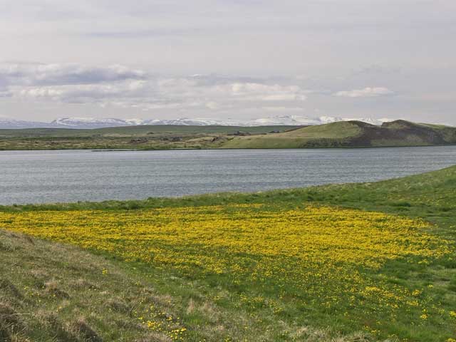
A field of dandilions at lake's edge with mountains in the distance.
Coming down the trail back to the bus.
Dinner was in the hotel’s dining room where we were served the local trout – again prepared perfectly. Dessert was skyr with cream.