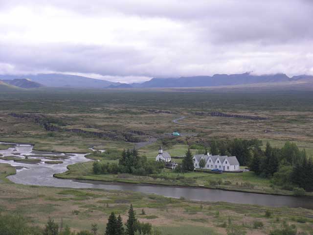
A house and church for the prime minister on Parliament Plain.
After going back to bed this morning I got a decent amount of sleep, but it was hard to get up when the alarm went off. We rearranged our bags, and left the big raspberry colored bag at the hotel to pick up on our return to Reykjavík. After breakfast, we convened for introductions, Kay B. and Barbara G. completed the group and we were off to our first destination.
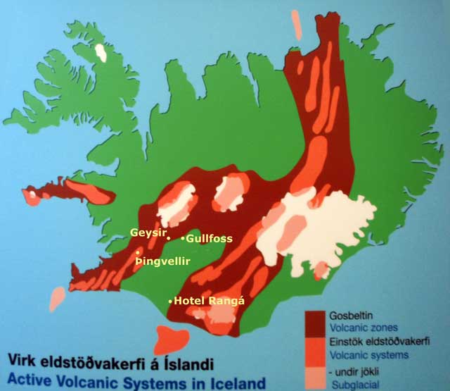
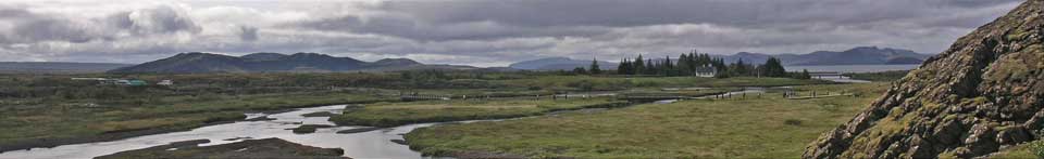
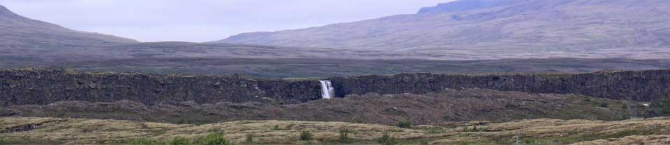
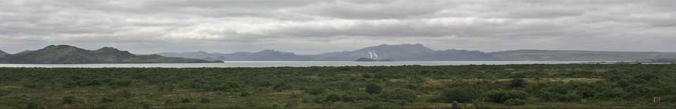
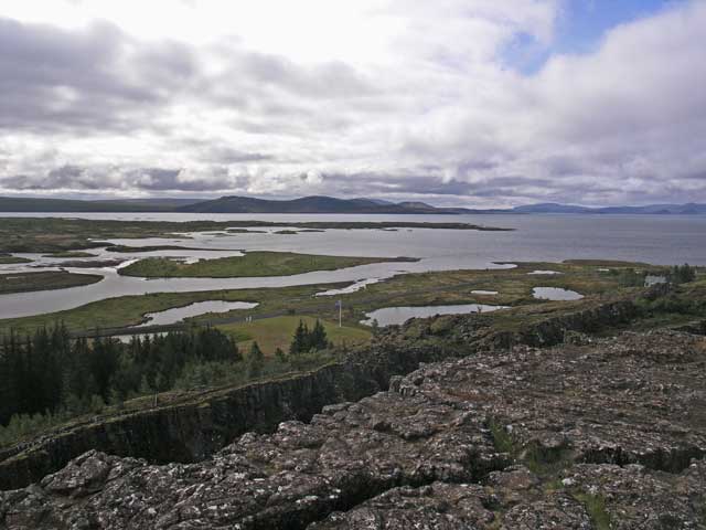
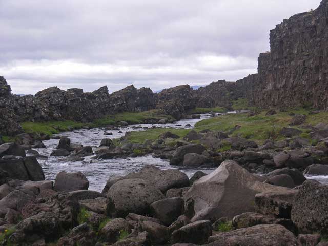
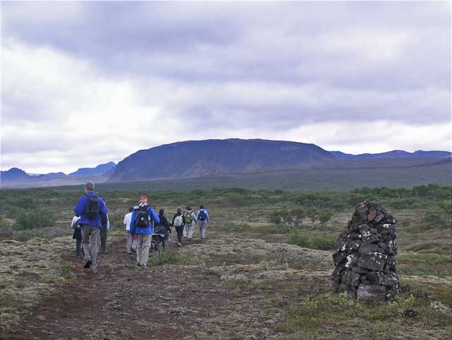
The first destination was Parliament Plains on Lake Þingvallir. This was the site of the oldest parliament, the Alþingi, established in 930. The clans would meet to resolve disputes and make laws. It is also located in the rift valley surrounded by sixteen (16) active volcanoes. (Note that none of these had erupted in about 1000 years, some for >10,000 years although they are still considered active.) The area is a national park and also has lodgings for the prime minister. We walked down form the top of the cliff on the North American plate on a broad path and then to a couple of waterfalls. After stopping for a midmorning snack, we left the well manicured trails to walk across the lava fields for an 8 km / 5 mile walk to the Forest Hut, although as Erling pointed out, neither a forest nor a hut were involved with the landmark - the ruins of an old farmstead.
As usual Jonathan and I were the last off the trail up to the hut because we were stopping frequently to take photos. The land in the valley is fairly flat and the sky is wide open. Although scattered rain was predicted, the weather was overcast and occasionally broken clouds. On the leg to the trailhead from the ruins, Jonathan was about midway between the lead (Erling) and the trail (me). As we went along, the gap between Jonathan and the group ahead of him got wider and wider. When he finally stopped to take a photo, folks scooted by him and true to form we were last of the trail for lunch.
At the campground at the trailhead, Kristín had set up a barbeque picnic with the assistance of Hulda our driver (and a firefighter from Akureyri). The lunch consisted of skewers cooked on the grill with a selection of lamb, monkfish, or vegetables. The weather had turned a bit raw with lowering clouds and temperature, so the hot skewers served with mango sauce hit the spot.
A house and church for the prime minister on Parliament Plain.
Þingvellavatn - Iceland's largest lake.
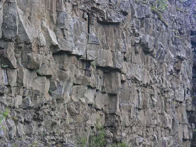
The basalt walls on the side of the path down from the top of the ridge.
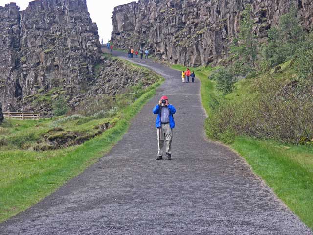
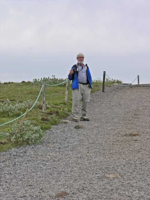
Jonathan on the path.
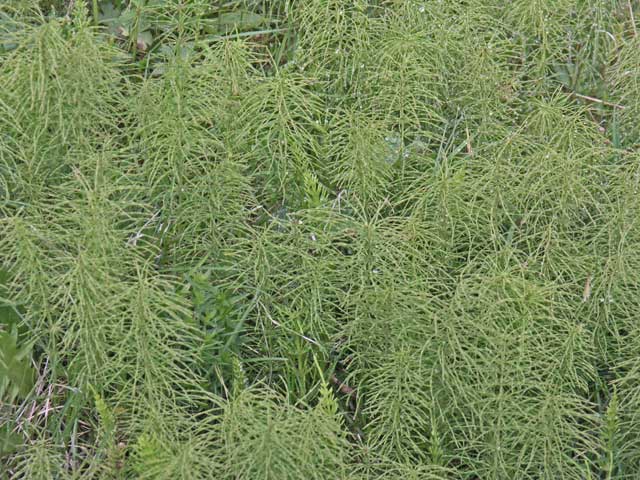
Horsetail (Equisetum arvense).
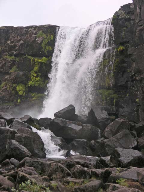
Öxarárfoss - Axe River Falls.
Downstream of the waterfall.
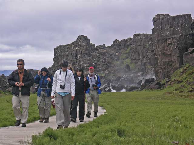
On our way back from the falls.
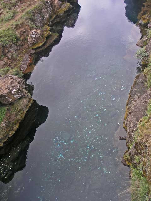
Peningagjá - the coin rift, filled with spring water - all those shiny points are coins thrown into the water.
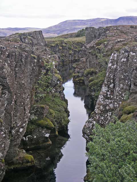
A longer view - divers will explore the larger rifts.
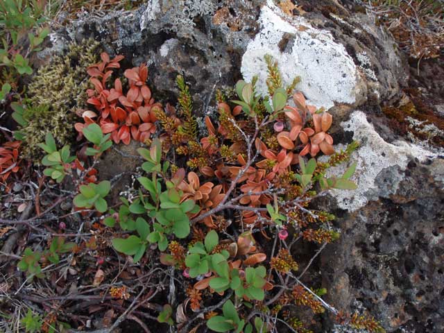
Multicolored vegetation and lichen.
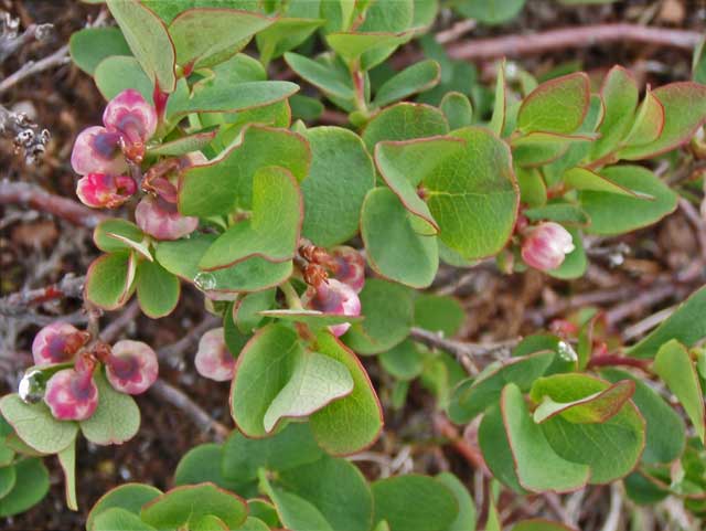
Bog bilberry (Vaccinium uliginosum).
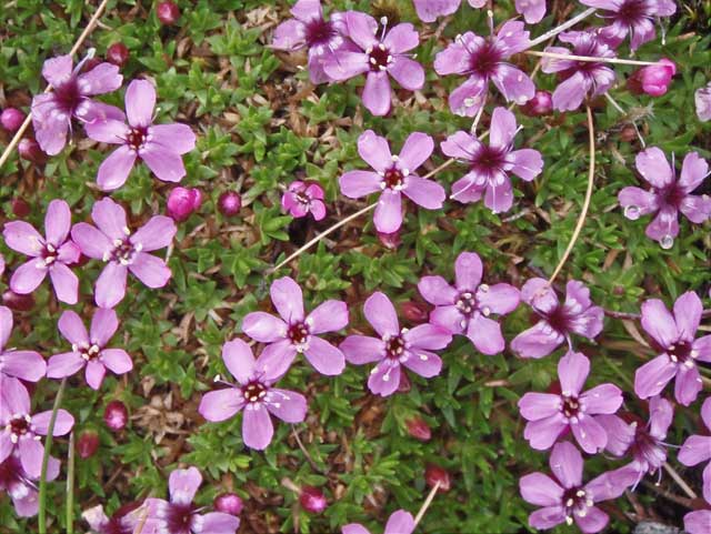
Moss campion (Silene acaulis).
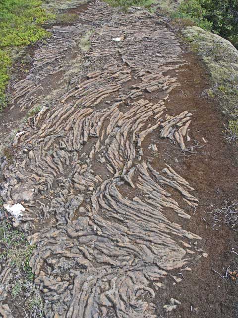
The path occasionally revealed patterns in the lava.
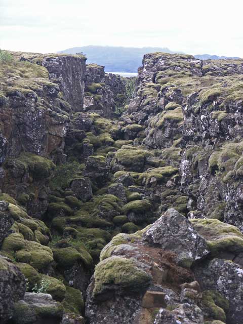
A rift - the lake, Þingvellavatn, is visible in the background through the rift.
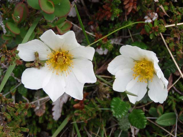
Mountain avens (Dryas octopetala).
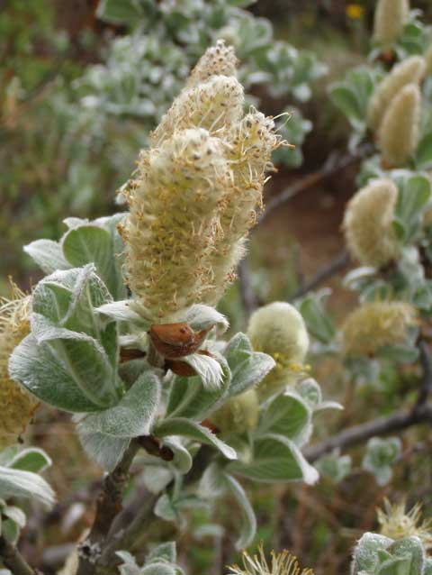
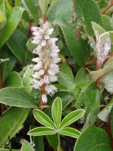
Woolly willow (Salix lanata).
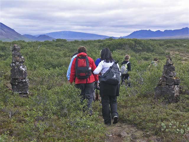
The trail frequently passed cairns, such as these two. Some were close to the path, others further away.
I never got a satisfactory identification of this.
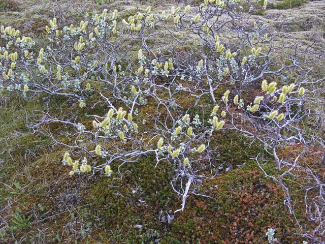
More woolly willow.
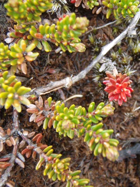
Crowberry (Empetrum nigrum).
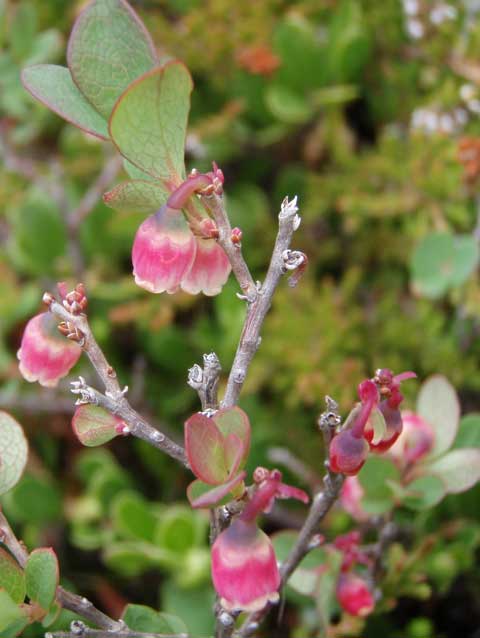
More bog bilberry.
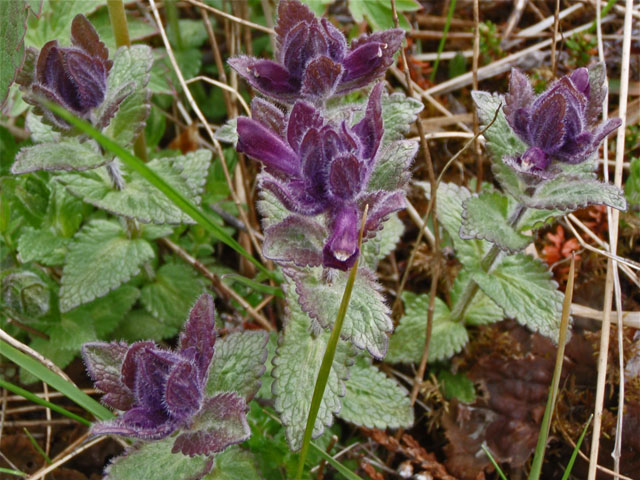
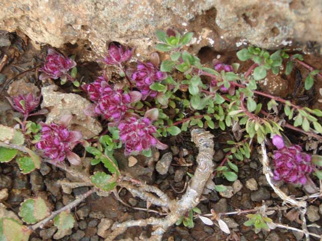
Alpine bartsia (Bartsia alpina).
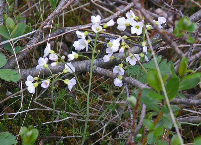
Northern rock-cress (Cardaminopsis petraea).
Passing another cairn.
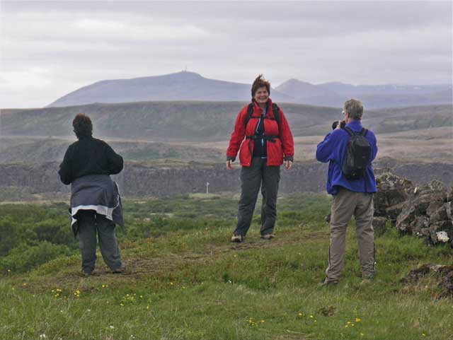
Posing for pictures at Skógarkot (Forest Hut).

On our way out.
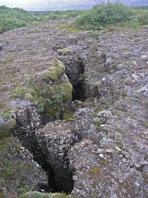
Another crevasse.
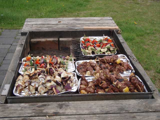
Lunch ! !
We drove over a combination of gravel and paved roads in the rift valley until we reached Geysir. As one might imagine, the feature of this location were geysers and assorted thermal pools very similar to Yellowstone’s attractions. After waiting for the featured geyser to do its thing five or six times over 20 or so minutes, we headed further south and east, leaving the rift valley climbing into the hills that mark the western boundary of the Eurasian tectonic plate.
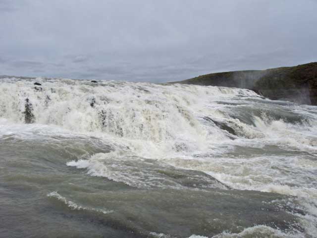
Stopping at the Gullfoss waterfall, there were many other tourists and tourist busses in evidence. Gullfoss is a magnificent and powerful waterfall on the White river. The water is opaque and white as it originates from the Long Glacier (Langjökull), and that opaqueness is silt, sometimes called glacial flour. The mist rising on the air out of the chasm led me to use the waterproof camera for shots close to the falls. Leaving the falls, we noticed four more large tourist busses approaching. Good timing on our departure.
On the way down the road, Langjökull, the glacier that feeds the cataract, was visible in the distance. Hulda steered the bus around the rocky roads out of the highlands to the ring road that circumnavigates the island. Our destination was the Hotel Rangá located on the ring road between Hella and Hvolsvöllur.
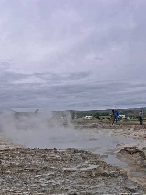
Strokkur (the churn) geyser - before…
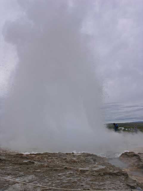
…and after. The main geyser (Geysir) doesn't erupt frequently anymore,this one every five minutes.
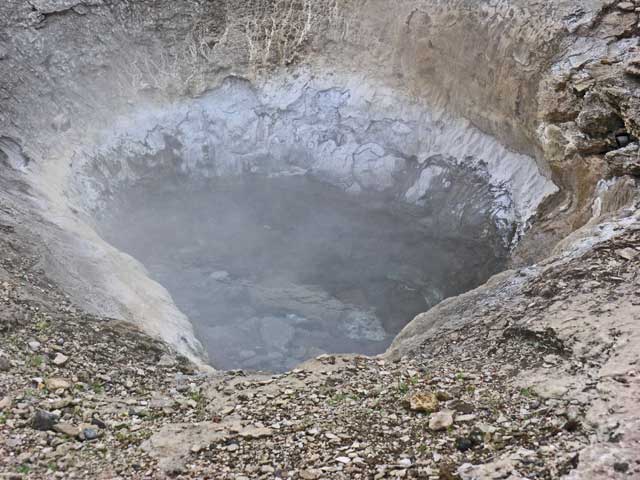
One of a number of hot pools in the area.
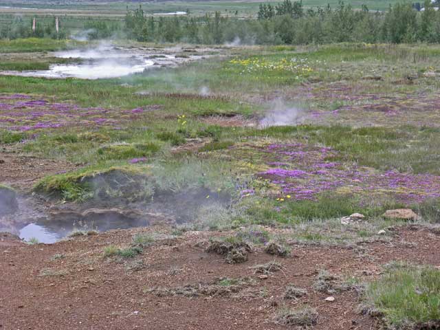
Steam rising from the ground made a curious counterpoint to the wildflowers.
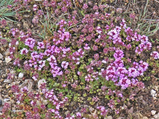
Wild thyme (Thymus praecox ssp. arcticus).
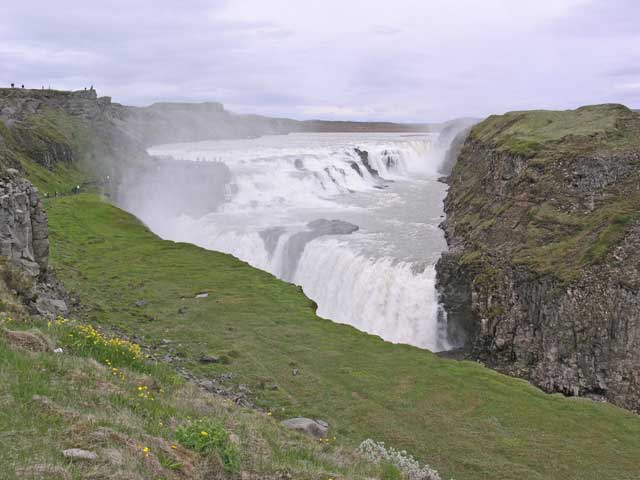
Gullfoss - the golden falls.
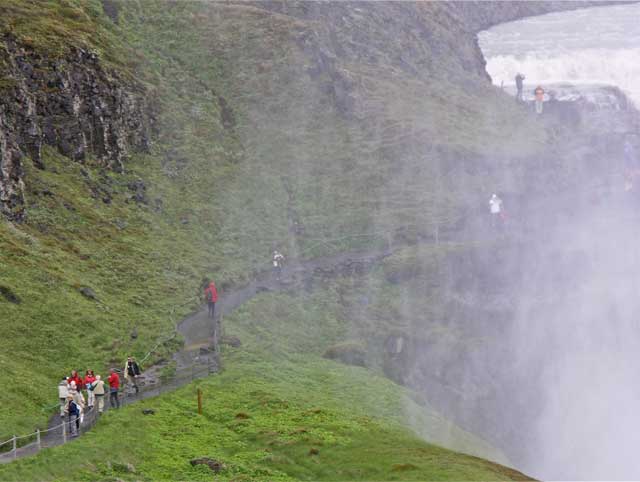
The path leading down to the falls, showing the mists rising up to meet you from the right.
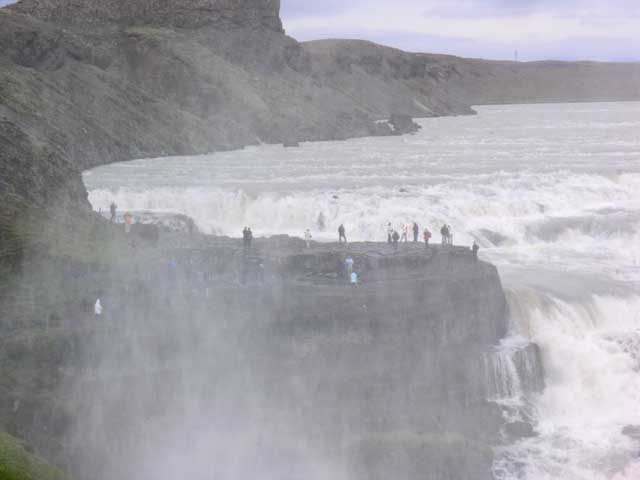
The end of the trail was this point of rock that puts you in the middle of the action.
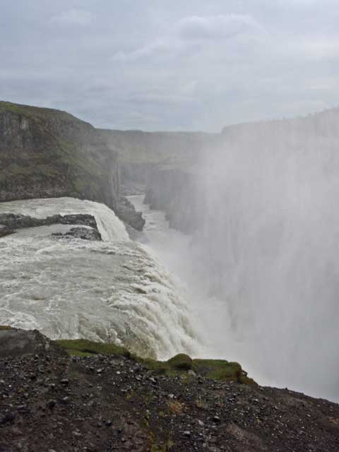
The view of the falls dropping into the chasm below.
The observation point puts you very close to the action.
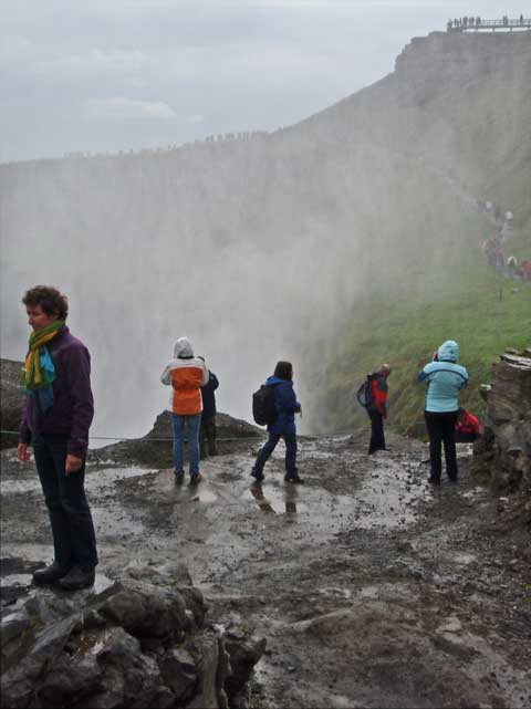
The mists will get you wet.
Kevin, with Paul in the background.
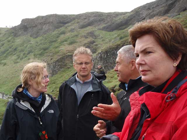
Kristín, Erling, John, and Gisele.
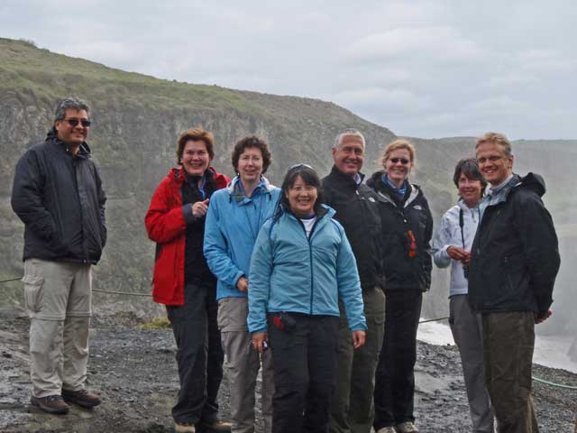
Paul, Gisele, Margie, Shirley, John, Kristín, Diane, and Erling.
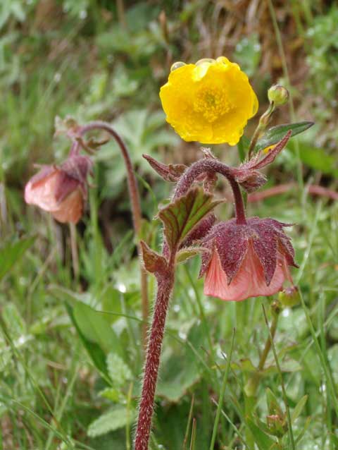
Ignore the yellow buttercup, this is a water avens (Geum rivale).
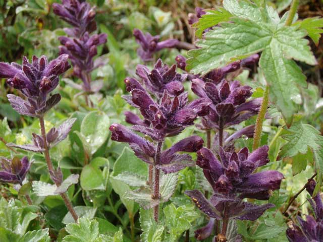
Alpine bartsia (Bartsia alpina).
Alpine bistort (Bistorta vivipara).
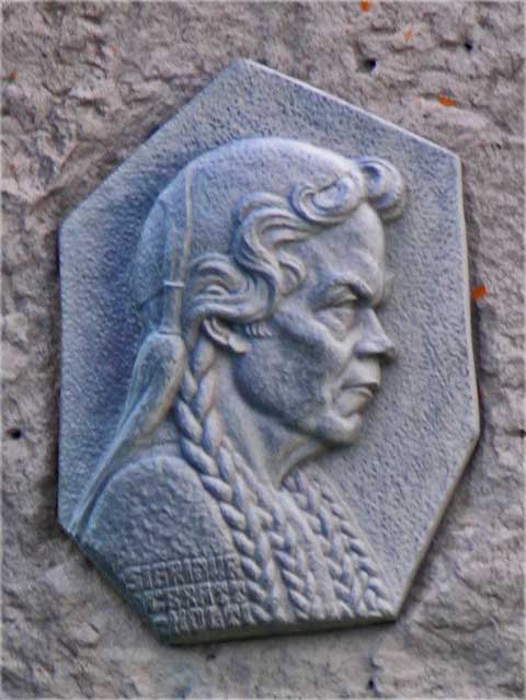
Sigfriður Tómasdóttir who supposedly saved Gullfoss from being converted to a hydroelectric plant.
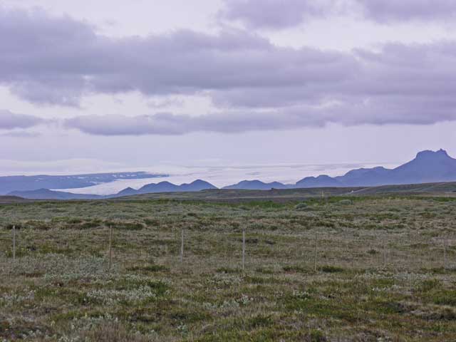
That white low on the mountains is not fog, it's a glacier - Langjökull.
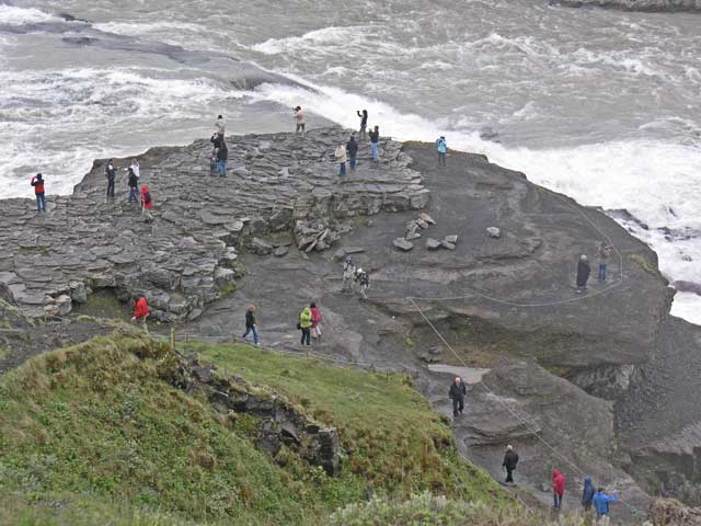
The Gullfoss observation point observed from above.
Jonathan on the trail.
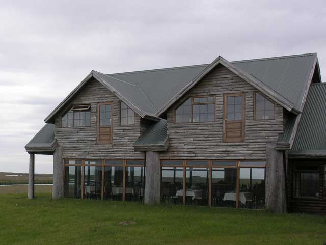
The Hótel Rangá's restaurant as seen from our room - not sure what those two upper doors are about.
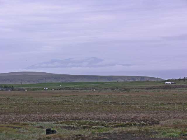
Eyjafjallajökull - this was all we were to see of Iceland's currently (in)famous erupting volcano.
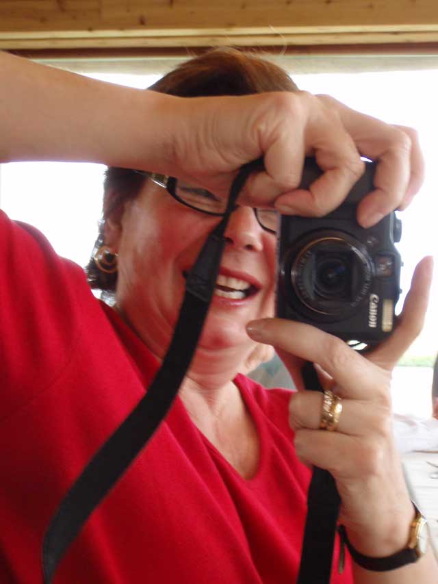
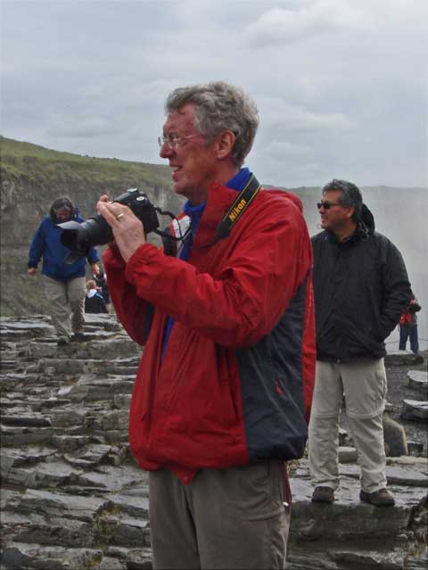
Now I have at least one picture of someone other than Jonathan taking a picture of me.
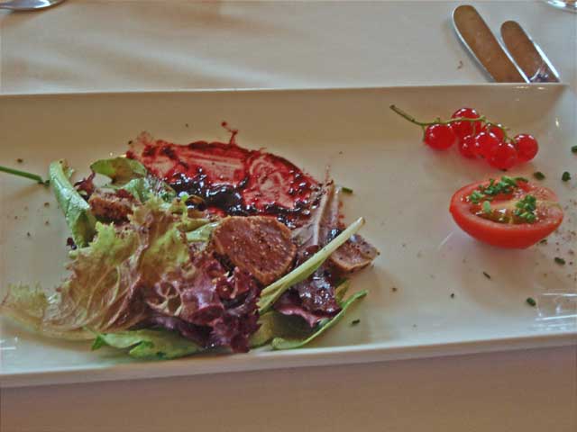
The appetizer of smoked lamb pastrami.
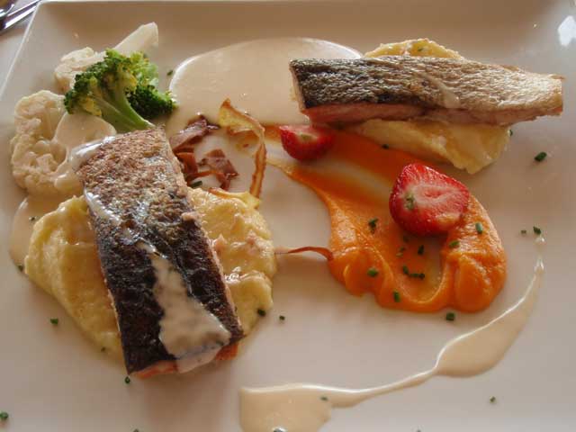
The main course of salmon…
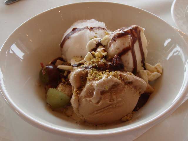
…and dessert.
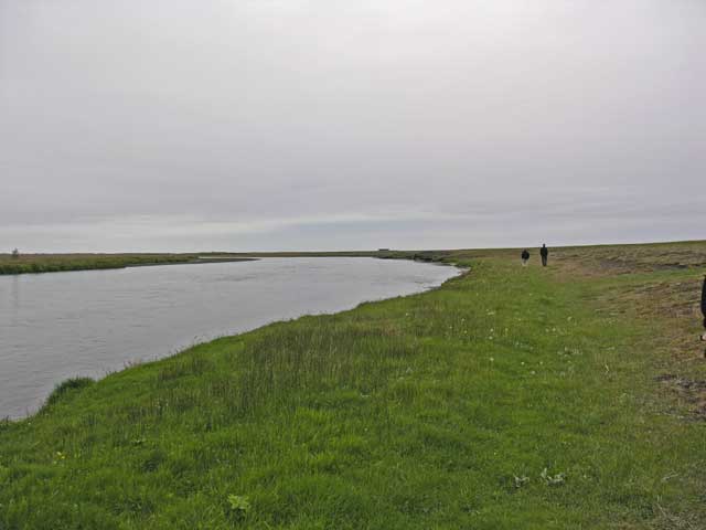
John and Erling lead the way on the after dinner riverside walk. Although it's overcast, it's 2100 (9pm).

Jonathan follows along with his camera.
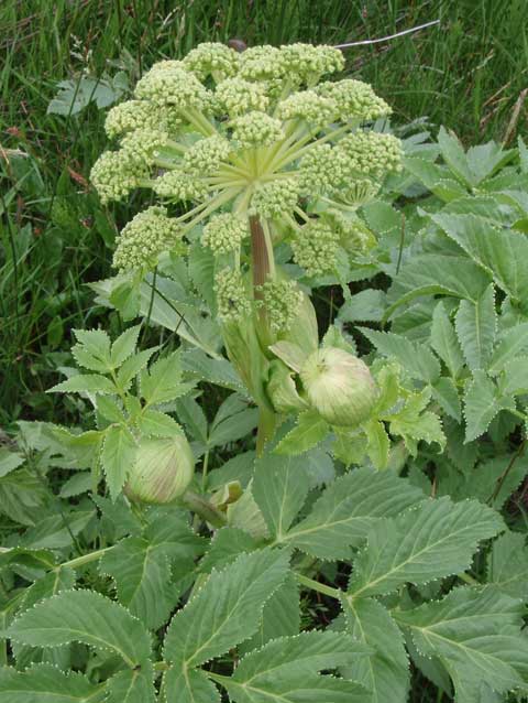
Garden angelica (Angelica archangelica).
After a quick shower, we convened for dinner - smoked lamb pastrami encrusted in peppercorns for an appetizer; the main was salmon on mashed potatoes; dessert was three scoops of ice cream (lemon sorbet, chocolate, and coffee) with sliced fruit and chocolate sauce. While four folks went out for a horseback ride, the rest of us took a short walk along the riverbank. Afterwards, Jonathan and I retired to the bar to work on our journals.